
File:Uganda districts 2010.png
Size of this preview: 570 × 599 pixels. Other resolutions: 228 × 240 pixels | 456 × 480 pixels | 730 × 768 pixels | 1,046 × 1,100 pixels.
Laga ekifaananyi ekijjuvu (pikseli 1,046 ku 1,100 , bunene bwa fayiro: KB 887, kika kya MIME: image/png)

|
This locator map image could be re-created using vector graphics as an SVG file. This has several advantages; see Commons:Media for cleanup for more information. If an SVG form of this image is available, please upload it and afterwards replace this template with
{{vector version available|new image name}}.
It is recommended to name the SVG file “Uganda districts 2010.svg”—then the template Vector version available (or Vva) does not need the new image name parameter. |
Summary
| Description |
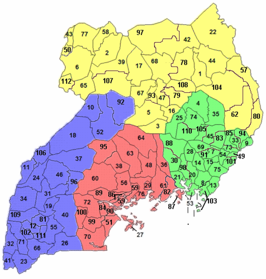
Русский: Округа и области Уганды 07.2010
English: Districs & regions Uganda 07.2010 |
| Date | |
| Source | Originally uploaded to [1] by User:Rarelibra |
| Author | PlatonPskov |
| Permission (Reusing this file) |
en (yogera nange · byawaddeyo) |
| Other versions | File:Uganda Districts.png |
![[1]](https://en.wikipedia.org/wiki/Image:Uganda_Districts.png)
Licensing
| I, the copyright holder of this work, release this work into the public domain. This applies worldwide. In some countries this may not be legally possible; if so: I grant anyone the right to use this work for any purpose, without any conditions, unless such conditions are required by law. |
| This work has been released into the public domain by its author, Rarelibra. This applies worldwide. In some countries this may not be legally possible; if so: |
Ebyafaayo ebya fayiro eno
Bw'onyiga ku nnaku n'essaawa, ojjakulaba fayiro nga bwe yali efaanana ku kiseera ekyo.
| Ennaku n'obudde | Kulingiza | Obuwanvu n'obugazi bwakyo | Eyakiteekawo | Okulw'ogerako | |
|---|---|---|---|---|---|
| oluwandika oluliwo kakano | 17:16, 10 Gwakkuminogumu 2015 | | 1,046 × 1,100 (KB 887) | Kontrollstellekundl | enlarged |
| 10:50, 24 Gwakkumi 2011 |  | 523 × 550 (KB 180) | Lasunncty | Smoothed colors to reduce pixelation effects. | |
| 20:44, 20 Gwakkuminogumu 2010 |  | 523 × 550 (KB 165) | PlatonPskov | Марача-Терего к 2010 г. разделён между округом Марача (собственно Марача) и округом Аруа (которому отдан Терего) | |
| 20:26, 20 Gwakkuminogumu 2010 |  | 523 × 550 (KB 166) | PlatonPskov | {{Information |Description={{ru|1=Округа и области Уганды 07.2010 {{en|1=Districs & regions Uganda 07.2010}}}} |Source=Originally uploaded to [http://en.wikipedia.org/wiki/Image:Uganda_Districts.png] by User:Rarelibra |Author=[[Use |
Empapula eziriko enyunzi ezigguka ku kifaananyi kino
Empapula 1 ezikuggusa ku fayiro eno ze:
Global file usage
The following other wikis use this file:
- Usage on als.wikipedia.org
- Usage on ar.wikipedia.org
- Usage on ast.wikipedia.org
- Usage on az.wikipedia.org
- Usage on ca.wikipedia.org
- Usage on el.wikipedia.org
- Usage on en.wikipedia.org
- Usage on eo.wikipedia.org
- Usage on es.wikipedia.org
- Usage on fa.wikipedia.org
- Usage on frr.wikipedia.org
- Usage on fr.wikipedia.org
- Usage on gl.wikipedia.org
- Usage on he.wikipedia.org
- Usage on hu.wikipedia.org
- Usage on hy.wikipedia.org
- Usage on id.wikipedia.org
- Usage on it.wikipedia.org
- Usage on ja.wikipedia.org
View more global usage of this file.