
File:Location map Kampala.png
Size of this preview: 557 × 600 pixels. Other resolutions: 223 × 240 pixels | 446 × 480 pixels | 887 × 955 pixels.
Laga ekifaananyi ekijjuvu (pikseli 887 ku 955 , bunene bwa fayiro: KB 587, kika kya MIME: image/png)
| Description |
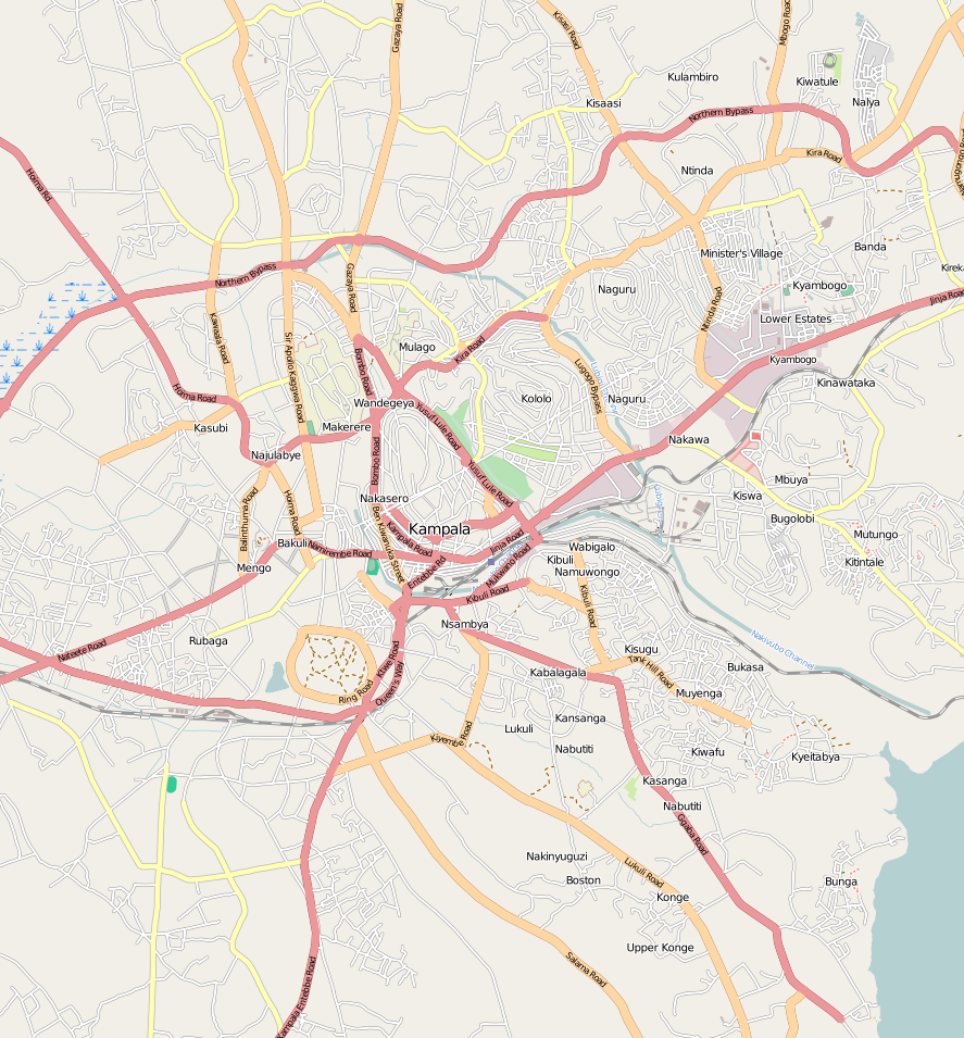
English: Map of Kampala
Geographic limits of the map:
This file is licensed under the Creative Commons Attribution-Share Alike 2.0 Generic license.
|
| Date | |
| Source | OpenStreetMap |
| Author | Dr. Blofeld |
Ebyafaayo ebya fayiro eno
Bw'onyiga ku nnaku n'essaawa, ojjakulaba fayiro nga bwe yali efaanana ku kiseera ekyo.
| Ennaku n'obudde | Kulingiza | Obuwanvu n'obugazi bwakyo | Eyakiteekawo | Okulw'ogerako | |
|---|---|---|---|---|---|
| oluwandika oluliwo kakano | 21:47, 8 Gwakusatu 2011 | | 887 × 955 (KB 587) | Blofeld Dr. | {{Information |Description ={{en|1=y}} |Source =yy |Author =y |Date =y |Permission = |other_versions = }} |
Empapula eziriko enyunzi ezigguka ku kifaananyi kino
Empapula 2 ezikuggusa ku fayiro eno ze:
Global file usage
The following other wikis use this file:
- Usage on ar.wikipedia.org
- Usage on azb.wikipedia.org
- Usage on bn.wikipedia.org
- Usage on en.wikipedia.org
- Kampala
- Makerere University
- Luzira
- Makerere
- Mulago National Specialised Hospital
- Kololo
- Mulago
- Fall of Kampala
- Nakivubo Stadium
- Makindye
- Kyambogo University
- Kyambogo
- Kampala University
- Uganda Management Institute
- St. Lawrence University (Uganda)
- Nsambya Hospital
- Nsambya
- Mengo, Uganda
- Makerere University Business School
- Ggaba
- Muyenga
- Nakasero
- Uganda Museum
- Lubaga
- Kawempe
- Nakawa
- International Hospital Kampala
- Clarke International University
- Namuwongo
- Mbuya
- Ntinda
- Ndeeba
- Nateete
- Kansanga
- Kampala International University
- Nansana
- Naguru, Uganda
- Makerere University School of Medicine
- Makerere University School of Public Health
- Makerere University College of Health Sciences
- Makerere University School of Biomedical Sciences
- Namirembe Hill
- Kibuli
- Uganda National Mosque
View more global usage of this file.